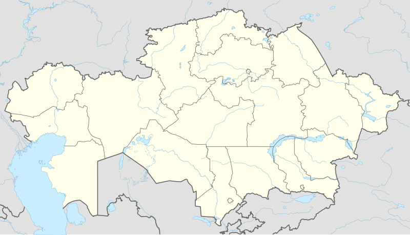
Файл:Kazakhstan adm location map.svg

Түп нуска файл (SVG файл, шарттуу түрдө 1 984 × 1 134 пиксел, файлдын өлчөмү: 562 KB)
Жыйынтыгы
| Сыпаттама |
Deutsch: Positionskarte von Kasachstan
English: Location map of Kazakhstan
|
||||||||||||
| Дата | |||||||||||||
| Булак |
Own work using:
|
||||||||||||
| Автор | NordNordWest | ||||||||||||
| Башка нускалар |
|
||||||||||||
_location_map.svg)

|
This map has been made or improved in the German Kartenwerkstatt (Map Lab). You can propose maps to improve as well.
|
Лицензиялоо
Usage of this file with:

explanatory notes: Legally binding is only the full legalcode. For a free usage I recommend to respect the following licence conditions:
1. Provide my name as given above: NordNordWest,
2. a copy of, or the URI for, the applicable license: https://creativecommons.org/licenses/by-sa/3.0/de/legalcode,
3. the title of the work,
4. in the case of an adaptation, a credit identifying the use of the work in the adaptation.
This license and the rights granted hereunder will terminate automatically upon any breach by you of the terms of this license. Any of the above conditions can be waived if you get permission from the copyright holder. If you have questions or wish differing conditions, please contact me through nnwest or my discussion page ![]() t-online.de
t-online.de
- Сиз буларга эркинсиз:
- бөлүшүү – чыгарманы көчүрүү, жайылтуу жана өткөрүп берүү
- ремикс кылуу – чыгарманы ылайыкташтыруу
- Төмөнкү шарттарда:
- атрибуция – Сиз тийиштүү насыя берип, лицензияга шилтеме калтырып жана өзгөртүүлөр болсо көрсөтүшүңүз керек. Сиз муну кандайдыр бир акылга сыярлык жол менен жасай аласыз, бирок лицензиар сизди же сиздин колдонууңузду жактырган кандайдыр бир жол менен эмес.
- Бирдей шарттар боюнча бөлүшүү – If you remix, transform, or build upon the material, you must distribute your contributions under the same or compatible license as the original.

Файлдын тарыхы
Файлдын белгилүү бир учурдагы көрүнүшүн көрүү үчүн тийиштүү убакыт/датаны басыңыз
| Убакыт/дата | Миниатюра | Өлчөм | Колдонуучу | Түшүндүрмө | |
|---|---|---|---|---|---|
| учурдагы | 14:16, 4 октябрь 2022 | | 1 984 × 1 134 (562 KB) | NordNordWest | upd 2022 |
| 19:45, 21 февраль 2022 |  | 1 984 × 1 134 (554 KB) | NordNordWest | corr | |
| 21:41, 25 июнь 2018 |  | 1 984 × 1 134 (619 KB) | NordNordWest | corr | |
| 15:48, 26 сентябрь 2014 |  | 1 984 × 1 134 (618 KB) | NordNordWest | == {{int:filedesc}} == {{Information |Description= {{de|1=Positionskarte von Kasachstan}} {{en|1=Location map of Kazakhstan}} {{Location map series N |stretching=150 |top=56 |bottom=40 |left=46 |right=88 }} |Source={{Own using}} * United States Nationa... |
Шилтемелер
Бул файл төмөнкү 6 баракта колдонулат:
Файлдын глобалдык колдонулушу
Бул файл төмөнкү викилерде колдонулат:
- af.wikipedia.org сайтындагы колдонулушу
- an.wikipedia.org сайтындагы колдонулушу
- ar.wikipedia.org сайтындагы колдонулушу
- ast.wikipedia.org сайтындагы колдонулушу
- azb.wikipedia.org сайтындагы колдонулушу
- az.wikipedia.org сайтындагы колдонулушу
Бул файлдын глобалдык колдонулушун көрүү.