Файл:Turkey relief location map.jpg

Алдын ала көрүүнүн көлөмү: 800 × 343 пиксел Башка уруксаттар: 320 × 137 пиксел | 640 × 274 пиксел | 1 579 × 677 пиксел.
Түп нуска файл (1 579 × 677 пиксель, файлдын көлөмү: 749 KB, MIME түрү: image/jpeg)
| Сыпаттама |
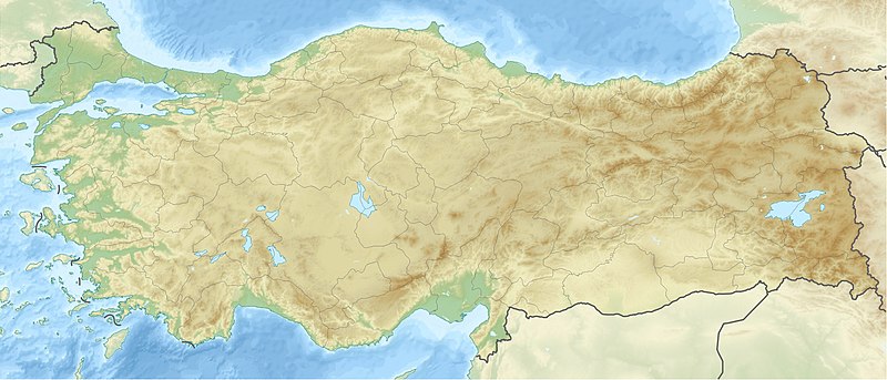
Deutsch: Positionskarte der Türkei Quadratische Plattkarte, N-S-Streckung 120 %. Geographische Begrenzung der Karte: * N: 42.5° N * S: 35.5° N * W: 25.4° O * O: 45.0° O English: Location map of Turkey Equirectangular projection, N/S stretching 120 %. Geographic limits of the map: * N: 42.5° N * S: 35.5° N * W: 25.4° E * E: 45.0° E |
| Дата | (UTC) |
| Булак | |
| Автор |
|
| Башка нускалар |
|

| This is a retouched picture, which means that it has been digitally altered from its original version. The original can be viewed here: Turkey location map.svg:
|
I, the copyright holder of this work, hereby publish it under the following licenses:
This file is licensed under the Creative Commons Attribution-Share Alike 3.0 Unported license.
- Сиз буларга эркинсиз:
- бөлүшүү – чыгарманы көчүрүү, жайылтуу жана өткөрүп берүү
- ремикс кылуу – чыгарманы ылайыкташтыруу
- Төмөнкү шарттарда:
- атрибуция – Сиз тийиштүү насыя берип, лицензияга шилтеме калтырып жана өзгөртүүлөр болсо көрсөтүшүңүз керек. Сиз муну кандайдыр бир акылга сыярлык жол менен жасай аласыз, бирок лицензиар сизди же сиздин колдонууңузду жактырган кандайдыр бир жол менен эмес.
- Бирдей шарттар боюнча бөлүшүү – If you remix, transform, or build upon the material, you must distribute your contributions under the same or compatible license as the original.

|
Permission is granted to copy, distribute and/or modify this document under the terms of the GNU Free Documentation License, Version 1.2 or any later version published by the Free Software Foundation; with no Invariant Sections, no Front-Cover Texts, and no Back-Cover Texts. A copy of the license is included in the section entitled GNU Free Documentation License. |
Сиз тандаган лицензияны тандай аласыз.
Original upload log
This image is a derivative work of the following images:
- File:Turkey_location_map.svg licensed with Cc-by-sa-3.0, GFDL
- 2008-07-19T19:49:14Z NordNordWest 1579x677 (999148 Bytes) {{Information |Description= {{de|Positionskarte der [[:de:Türkei|Türkei]]}} Quadratische Plattkarte, N-S-Streckung 120 %. Geographische Begrenzung der Karte: * N: 42.5° N * S: 35.5° N * W: 25.4° O * O: 45.0° O {{en|Loca
Uploaded with derivativeFX
| Annotations | This image is annotated: View the annotations at Commons |
Файлдын тарыхы
Файлдын белгилүү бир учурдагы көрүнүшүн көрүү үчүн тийиштүү убакыт/датаны басыңыз
| Убакыт/дата | Миниатюра | Өлчөм | Колдонуучу | Түшүндүрмө | |
|---|---|---|---|---|---|
| учурдагы | 12:42, 28 июнь 2010 | | 1 579 × 677 (749 KB) | Uwe Dedering | {{Information |Description={{de|Positionskarte der Türkei}} Quadratische Plattkarte, N-S-Streckung 120 %. Geographische Begrenzung der Karte: * N: 42.5° N * S: 35.5° N * W: 25.4° O * O: 45.0° O {{en|Location map of [[:en:Turkey|Turkey |
Шилтемелер
Бул файл төмөнкү баракта колдонулат:
Файлдын глобалдык колдонулушу
Бул файл төмөнкү викилерде колдонулат:
- als.wikipedia.org сайтындагы колдонулушу
- am.wikipedia.org сайтындагы колдонулушу
- ar.wikipedia.org сайтындагы колдонулушу
- قالب:خريطة مواقع تركيا
- فالق شمال الأناضول
- مستخدم:عبد المؤمن/مسودات/خرائط/تركيا
- مستخدم:"Yahia"/ملعب
- نهر مراد
- وحدة:Location map/data/Turkey
- وحدة:Location map/data/Turkey/شرح
- نفق الاستقلال 15 يوليو
- أطلس جت الرحلة 4203
- أولودنيز
- زلزال معمورة العزيز 2020
- قونور ألب
- الاشتباكات الحدودية التركية السورية خلال الحرب الأهلية السورية
- زلزال قهرمان مرعش 2023
- زلزال أرزنجان 1939
- زلزال أضنة وجيحان 1998
- زلزال أميك 1872
- arz.wikipedia.org сайтындагы колдонулушу
- ast.wikipedia.org сайтындагы колдонулушу
- av.wikipedia.org сайтындагы колдонулушу
- azb.wikipedia.org сайтындагы колдонулушу
- az.wikipedia.org сайтындагы колдонулушу
Бул файлдын глобалдык колдонулушун көрүү.