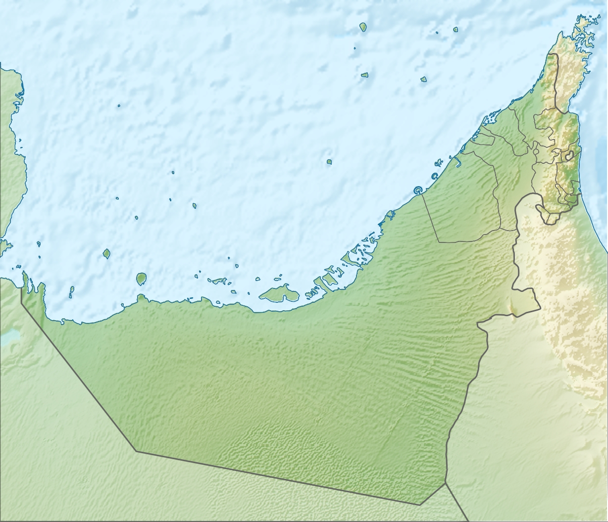
Файл:United Arab Emirates relief location map.jpg
Алдын ала көрүүнүн көлөмү: 698 × 600 пиксел Башка уруксаттар: 279 × 240 пиксел | 559 × 480 пиксел | 894 × 768 пиксел | 1 228 × 1 055 пиксел.
Түп нуска файл (1 228 × 1 055 пиксель, файлдын көлөмү: 668 KB, MIME түрү: image/jpeg)
| Сыпаттама |
Deutsch: Positionskarte der Vereinigten Arabischen Emirate Quadratische Plattkarte, N-S-Streckung 109 %. Geographische Begrenzung der Karte: * N: 26.5° N * S: 22.4° N * W: 51.4° O * O: 56.6° O English: Location map of the United Arab Emirates Equirectangular projection, N/S stretching 109 %. Geographic limits of the map: * N: 26.5° N * S: 22.4° N * W: 51.4° E * E: 56.6° E |
| Дата | (UTC) |
| Булак | |
| Автор |
|
| Башка нускалар |
Derivative works of this file: Liwa oasis location.jpg
|

| This is a retouched picture, which means that it has been digitally altered from its original version. Modifications: relief map. The original can be viewed here: United Arab Emirates location map.svg:
|
I, the copyright holder of this work, hereby publish it under the following license:
This file is licensed under the Creative Commons Attribution-Share Alike 3.0 Unported license.
- Сиз буларга эркинсиз:
- бөлүшүү – чыгарманы көчүрүү, жайылтуу жана өткөрүп берүү
- ремикс кылуу – чыгарманы ылайыкташтыруу
- Төмөнкү шарттарда:
- атрибуция – Сиз тийиштүү насыя берип, лицензияга шилтеме калтырып жана өзгөртүүлөр болсо көрсөтүшүңүз керек. Сиз муну кандайдыр бир акылга сыярлык жол менен жасай аласыз, бирок лицензиар сизди же сиздин колдонууңузду жактырган кандайдыр бир жол менен эмес.
- Бирдей шарттар боюнча бөлүшүү – If you remix, transform, or build upon the material, you must distribute your contributions under the same or compatible license as the original.
Original upload log
This image is a derivative work of the following images:
- File:United_Arab_Emirates_location_map.svg licensed with Cc-by-sa-3.0
- 2009-11-02T20:02:51Z NordNordWest 1228x1056 (243829 Bytes) '
- 2009-11-02T19:16:49Z NordNordWest 1228x1056 (244905 Bytes) {{int:filedesc}} {{Information |Description= {{de|Positionskarte der [[:de:Vereinigte Arabische Emirate|Vereinigten Arabischen Emirate]]}} Quadratische Plattkarte, N-S-Streckung 109 %. Geographische Begrenzung der Karte: * N:
Uploaded with derivativeFX
Файлдын тарыхы
Файлдын белгилүү бир учурдагы көрүнүшүн көрүү үчүн тийиштүү убакыт/датаны басыңыз
| Убакыт/дата | Миниатюра | Өлчөм | Колдонуучу | Түшүндүрмө | |
|---|---|---|---|---|---|
| учурдагы | 09:30, 5 август 2010 | | 1 228 × 1 055 (668 KB) | Uwe Dedering | {{Information |Description={{de|Positionskarte der Vereinigten Arabischen Emirate}} Quadratische Plattkarte, N-S-Streckung 109 %. Geographische Begrenzung der Karte: * N: 26.5° N * S: 22.4° N * W: 51.4° O * O: 56.6� |
Шилтемелер
Бул файл төмөнкү баракта колдонулат:
Файлдын глобалдык колдонулушу
Бул файл төмөнкү викилерде колдонулат:
- af.wikipedia.org сайтындагы колдонулушу
- als.wikipedia.org сайтындагы колдонулушу
- ar.wikipedia.org сайтындагы колдонулушу
- ast.wikipedia.org сайтындагы колдонулушу
- av.wikipedia.org сайтындагы колдонулушу
- az.wikipedia.org сайтындагы колдонулушу
- ba.wikipedia.org сайтындагы колдонулушу
- be.wikipedia.org сайтындагы колдонулушу
- bg.wikipedia.org сайтындагы колдонулушу
- bh.wikipedia.org сайтындагы колдонулушу
- bn.wikipedia.org сайтындагы колдонулушу
- bs.wikipedia.org сайтындагы колдонулушу
- bxr.wikipedia.org сайтындагы колдонулушу
- ca.wikipedia.org сайтындагы колдонулушу
- ceb.wikipedia.org сайтындагы колдонулушу
- ce.wikipedia.org сайтындагы колдонулушу
Бул файлдын глобалдык колдонулушун көрүү.